
There’s a reason why every weekend thousands of Romans get up at dawn with a backpack on their shoulders and a pair of hiking boots on their feet: Lazio—the real one—is one of Italy’s most surprising regions for those who love the outdoors. Extinct volcanoes transformed into blue lakes, dense forests where time seems to have stood still, tuff canyons that look like something out of a movie, peaks from which you can see the sea.
If you’re a fearless hiker or if this world intrigues you and you’re looking for places to go trekking in Lazio, you’ve come to the right place. In this guide, you’ll find the most beautiful, unique, and photogenic trails: from Etruscan paths just a stone’s throw from the city to the alpine lakes of the Apennines, passing through volcanic forests and ghost towns. You’re sure to discover something unexpected—guaranteed.
Veio Park – Circular Hike from the Mola Waterfall
Twenty minutes from the ring road lies a place that seems to have come from another era: Veio Park. The loop hike starts at the Mola di Veio Waterfall and winds through open meadows, past the Etruscan Ponte Sodo bridge, and along the rock-cut tombs by the Cremera River. Easy, about 10 km with a 130-meter elevation gain, suitable for everyone. The Portonaccio Sanctuary can be visited for free along the route. It’s one of those places you’ll leave wondering how you ever managed not to go there before.
WeRoad is organizing a group event on May 31, 2026.
📍 Mola di Veio Parking Lot – Via Riserva Campetti 1, Rome (RM)
Sentiero degli Inferi – Cerveteri Waterfalls
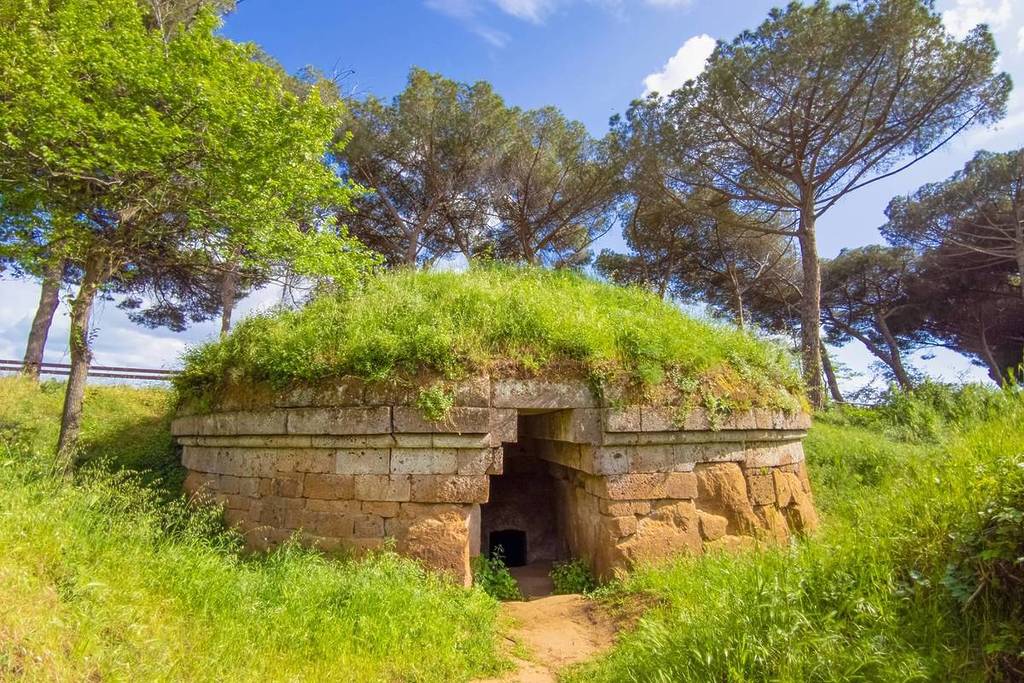
Don’t let the name put you off: this loop trail near Cerveteri is one of the most fascinating in Lazio, and every step is worth it. You literally walk between the world of the living and that of the dead—the Via degli Inferi was an Etruscan rock-cut passageway carved into the tuff to connect the Banditaccia necropolis to the city. Along the route, you’ll encounter five waterfalls, a water tunnel (the Galleria degli Inferi), and finally the Banditaccia Necropolis, a UNESCO World Heritage Site. Approximately 14 km, moderate elevation gain, easy-to-moderate difficulty. Free.
📍 Via della Necropoli della Banditaccia, Cerveteri (RM)
Valle dei Calanchi – Civita di Bagnoregio
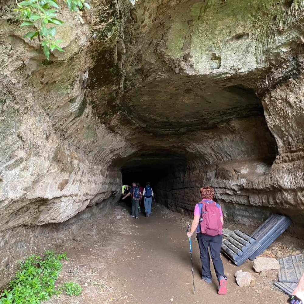
If you’re looking for an aesthetic and otherworldly landscape, it’s hard to find anything better: the hills around Civita di Bagnoregio have been sculpted over the centuries by erosion into gigantic slabs of tuff and clay that cut through the valleys of the Rio Torbido and Rio Chiaro. The trail starts in Lubriano and leads to the village through ancient aqueduct tunnels, far from the crowds at the pedestrian bridge. Difficulty Level E, about 4 hours, 400 m elevation gain. Spring and fall are the best times to visit. Admission to the village costs €5.
📍 Belvedere di Lubriano (VT)
Biedano Gorges – Marturanum Regional Park
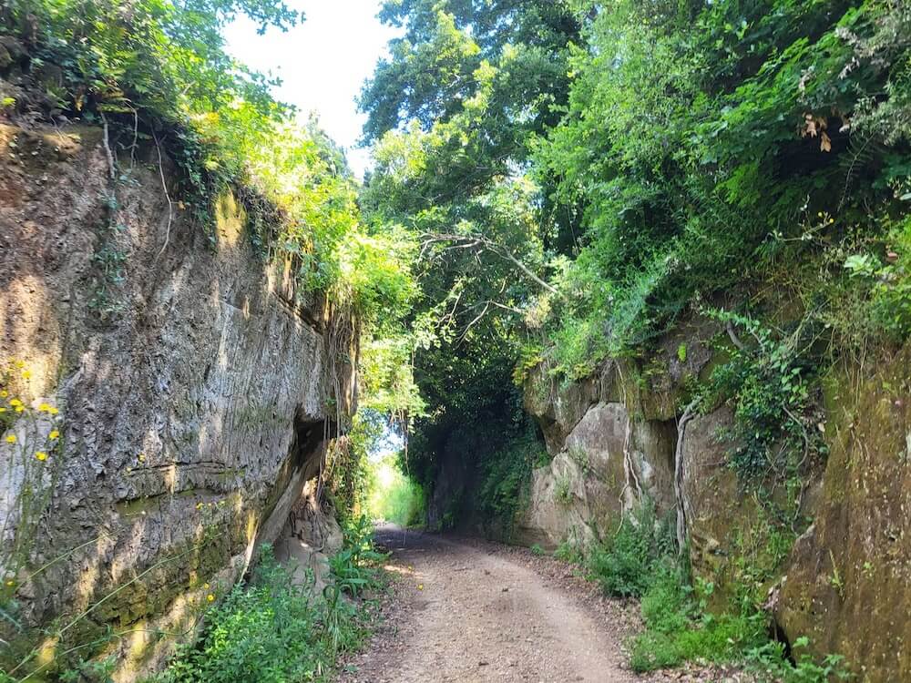
Following the Biedano River from Barbarano Romano to Blera, you enter a parallel world: waterfalls, medieval mills, an underground aqueduct, and vegetation so dense it resembles a tropical jungle. The trail is easy, suitable even for beginners, and leads to the Colombario Romano and the Cava Buia, an ancient road carved into the tuff from which you can see the Necropolis of the Lega with its chamber tombs. One of the most spectacular trails in Tuscia, still little known outside the Roman outdoor community. Free access.
📍 Marturanum Park Parking Lot, Via Turchino – Barbarano Romano (VT)
Selva del Lamone – Farnese
A mysterious volcanic forest, among the most pristine in central Italy: the Selva del Lamone is the perfect spot for those who want to disappear into nature for a few hours. The loop trail is about 8 km long with only a 150-meter elevation gain —beginner level—and passes through three themed trails: the Monumental Trees, the Lacioni (small volcanic lakes), and the Craters. The dense, almost fairy-tale atmosphere makes it one of the most beloved trails among those who discover it. Free admission; please note that reservations are recommended for guided tours with the Reserve’s naturalists.
📍 Località Bottino s.n., Farnese (VT) – 01010
Galeria Antica – The Ghost Town
Yes, there is a ghost town less than 30 km from Rome—and no, almost no one knows about it. The trail to Galeria Antica is about 7–9 km long, easy, and leads to the ruins of a medieval village abandoned in the 17th century, where wild nature has taken over the walls, towers, and churches. Along the way, you can extend the hike to a waterfall on theArrone stream. Perfect forgreen urban exploration purists and for those who want a story to tell their friends upon returning. Free and open access.
📍 Santa Maria di Galeria, Via Palidoro – Rome (RM)
Mount Gennaro – Monti Lucretili Park
At 1,271 m, Monte Gennaro is the highest peak of the Lucretili Mountains and one of the most rewarding hikes in the Lazio Apennines. The classic route starts from Prato Favale and climbs through a beautiful beech forest, the Pratone, and the grassy expanses of the Cavalera Valley, ending at the summit with a large cross and a panoramic tower. Approx. 12 km, 500–600 m elevation gain, difficulty level E. Recommended year-round, but watch out for mud after rain. Free access.
📍 Prato Favale – Marcellina (RM)
Mount Terminillo – Sunset Hike with Dinner at the Mountain Hut
The “Little Apennines of the Romans” is the highest peak in Lazio at 2,217 m, and in summer it becomes one of the most spectacular hikes in the region. The classic route is intermediate level, but there’s also a trekking-experience option: you ascend to the Rinaldi Refuge (2,108 m) in time for sunset, have dinner at the refuge, and descend at night with headlamps. 360° views of the Apennines and the Rieti plain.
📍 Pian de’ Valli – Terminillo, Rieti (RI)
Lago della Duchessa – Montagne della Duchessa Nature Reserve
Considered by many to be the most beautiful hike in central Italy, Lago della Duchessa deserves every superlative. The hike starts from the village of Cartore (930 m) and climbs through Val Fua, immersed in an alpine landscape that is surprising for Lazio. The lake, at 1,788 m, is of karstic origin, surrounded by rocky walls: on clear days, the view stretches for miles. Moderate difficulty, about 3–4 hours of walking. Climate change is slowly shrinking it, so the best time to visit is now.
📍 Cartore – Borgorose (RI), Valle del Salto exit (A24)
Lake Nemi – Castelli Romani
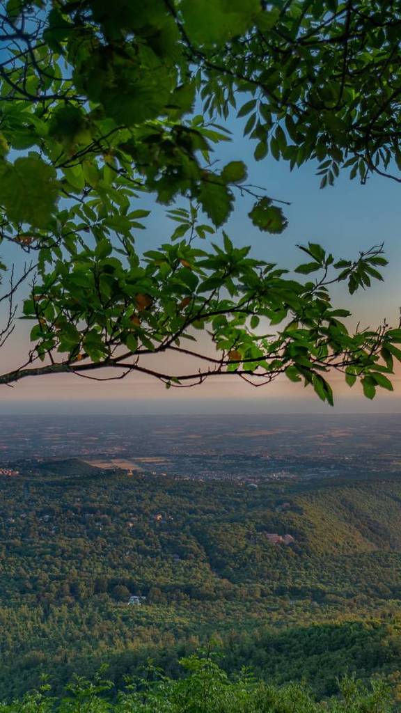
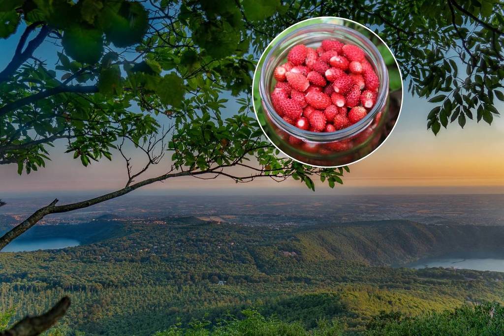
A loop hike between two volcanic lakes, chestnut forests, Roman cisterns, a medieval monastery, and the village of Nemi, famous for its wild strawberries. The route starts in Albano Laziale (accessible by train from Termini) and ends in Nemi via the trails of the Castelli Romani Regional Park, offering continuous views of the water. The full route is about 21 km, but it can be shortened as desired. One of the few hikes in Lazio that is entirely accessible without a car.
📍 Albano Laziale Train Station – Via Stazione, Albano Laziale (RM)
Mount Circeo – Circeo National Park
Where the sea meets the mountains: Mount Circeo is one of Lazio’s most iconic landscapes, with its promontory rising directly from the Tyrrhenian Sea to a height of 541 m. The route from the Le Crocette side is classified as EE (experienced hikers) andrequires a licensed guideto access the Crocette–Picco di Circe section, per an ordinance in effect until September 30, 2026. It’s worth planning ahead: the view from the summit is among the most beautiful in central Italy, and the park also features prehistoric caves and extraordinary biodiversity.
📍 Le Crocette – San Felice Circeo (LT)
Simbruini Mountains – Monte Autore and Trevi Waterfalls in Lazio
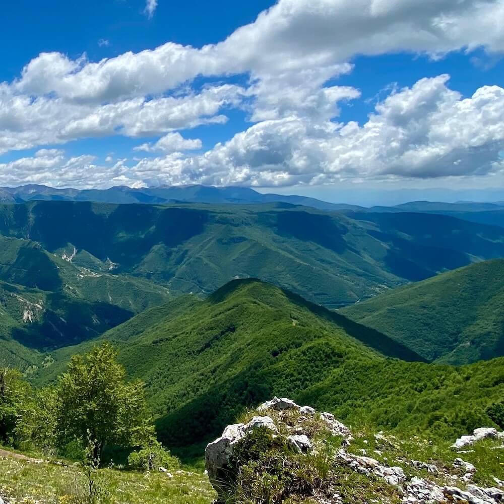
Among the largest regional parks in Lazio, the Simbruini Mountains hide two consecutive gems: Monte Autore (1,855 m) with its loop trail from Campo dell’Osso (~10 km, 370 m elevation gain, intermediate level) and the Trevi Waterfalls in Lazio, much loved for their wild atmosphere on the border with Abruzzo. Vast beech forests, green plateaus, and lingering snow until late spring: we are a world away from the Colosseum, yet just over an hour from Rome. Free admission.
📍 Mount Autore: Campo dell’Osso – Filettino (FR) / Waterfalls: Trevi nel Lazio (FR)